

What will the course look like?
11-Mile Race

Race course map
11 mile lollipop loop
Race Route
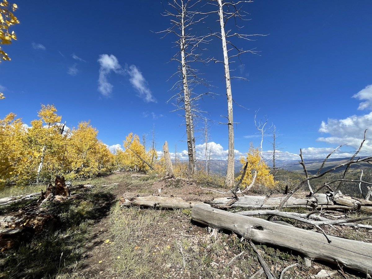
The race will start and finish at Colvig Silver Camps (9665 Co Rd 240, Durango, CO 81301). The route is a lollipop loop run in a counter-clockwise direction. You will start the race on County Road 240 before climbing 2,00 ft up Red Creek to Missionary Ridge. You’ll traverse Missionary Ridge from northeast to southwest and then descend along First Fork Red Creek back to County Road 240 to finish at Colvig Silver Camps.
Aid Stations
There will be a single aid station at approximately mile 8. We will have water, snacks, first aid kits, and amazing volunteers there for you!
Elevation profile:

The climb up Red Creek (from about mile 1.5 to mile 5.5) will gain 2,000 feet. The Missionary Ridge traverse rolls, and then you lose 2,000 feet on the descent on First Fork Red Creek back to the finish.

Race start/finish is at approx 7,700 feet
The race peaks at 9,500 feet.
Elevation gain is approx 2,200 feet.
50k Race
To Lemon Reservoir and back!
Climb up to 10,000ft via the Red Creek trail to Missionary Ridge, then down Youngs Canyon where you ford the Florida River, hit an aid station & then turn around to head back to Missionary Ridge returning to Colvig via a steep First Fork descent. This course is beautiful & challenging!
Course Map

Elevation profile

Aid Stations
There will be two aid stations on the course. The first aid station will be at approximately mile 12.5 at Lemon Reservoir. The second aid station will be at approximately mile 23 (10.5 miles from Lemon Reservoir) at the intersection of missionary Ridge and First Fork Red Creek.